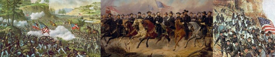
Sons
of Union Veterans of the Civil War
Department of Colorado and Wyoming
| Camps | Civil War Memorials | The
Department in Action |
Membership | Upcoming Events |
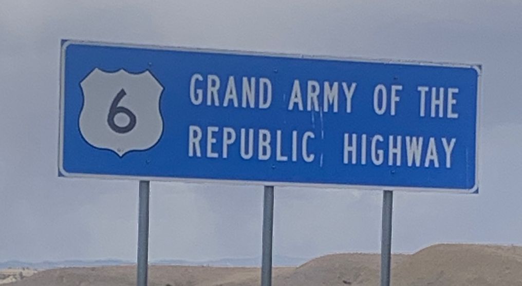
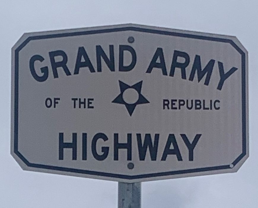
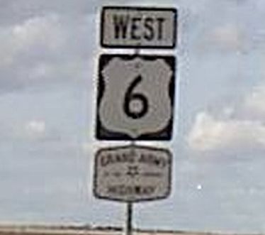
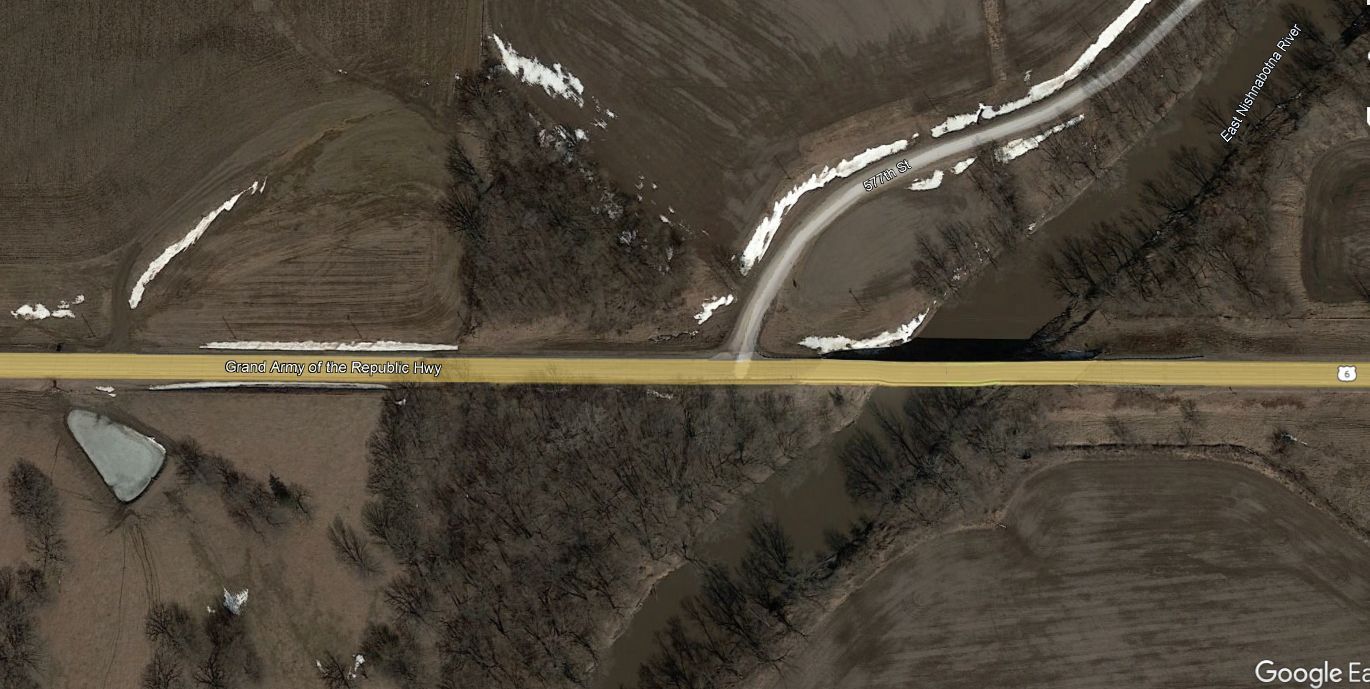
G.A.R. Highway in Colorado
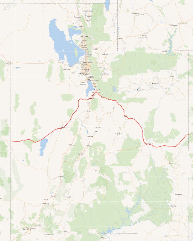 U.S. To see a larger copy click here |
Google Earth Map shows the GAR Highway
|
U.S. |
U.S. Route 6 in Utah
US-6 forms an arch-shaped route with Spanish Fork at the apex. The western half of the arch is less traveled and almost entirely two-lane, passing through the Great Basin Desert, Sevier Lake, Delta, Eureka, and the Tintic Standard Reduction Mill. The eastern half of the arch is a busy transportation corridor, with significant parts having four or more lanes. This half passes over Soldier Summit and the historic railroad hub of Helper then Spanish Fork and Green River to the State Line
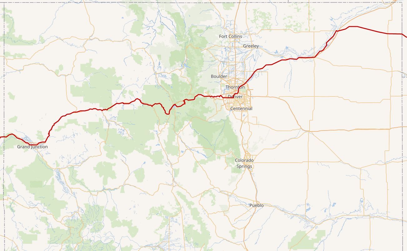
U.S. Route 6 in Colorado
US
6 is basically parallel to, or runs concurrently with, I-70 for a significant
portion of its length as it generally heads east from the Utah state line thru
about half of Denver. It is unsigned while it is overlapped. It separates to
become I-70 Business through the south side of Grand Junction, rejoining I-70
just north of Clifton.
It
again separates west of Rifle and runs through that town, Silt, New Castle, and
Chacra until it again joins I-70.
It
separates from and runs parallel to, I-70 at Dotsero, where the Eagle River
joins the Colorado River. It again joins I-70 just east of Avon, the location of
the Beaver Creek Ski Area, just a bit west of the Vail Ski Area.
A
significant departure from I-70 occurs at Silverthorne where it veers a bit
south then north, avoiding the nearly two-mile-long (3.2 km) tunnel on I-70 as
it goes under the Continental Divide. It passes the Arapahoe Basin Ski Area
before a steep climb to the highest altitude along US 6, 11,990 feet (3,650 m),
at Loveland Pass, where it crosses the Continental Divide. It continues down
Clear Creek Valley as it again reaches I-70 at the Loveland Basin Ski Area
straddling the eastern mouth of the Eisenhower Tunnel.
Slightly
east of Idaho Springs it separates to go thru the scenic Clear Creek Canyon. At
Golden, it combines with 6th Avenue to head south until it again crosses paths
with I-70.
Then,
continuing east, it passes through Lakewood and west Denver as the 6th Avenue
freeway.
From
near the eastern terminus of the 6th Avenue freeway, US 6 takes a convoluted
route through Denver. First, it turns north on I-25, then heads east on I-70 to
Vasquez Boulevard through Elyra Swansea. The route emerges from the freeway
alongside US 85 through Commerce City, where the pair briefly join State Highway
2 (SH 2) before separating at Colorado Boulevard. SH 2 represents the historic
alignment of US 6 northeast to Brighton, while US 6 combines with I-76, heading
northeast, until east of Brush.
It
then separates to join I-76 Business until it crosses I-76 east of Sterling,
where it changes direction from the Interstate. It continues east until it
reaches Nebraska. The last town in Colorado that it passes is Holyoke.
 |
 |
 |
 |
|
|
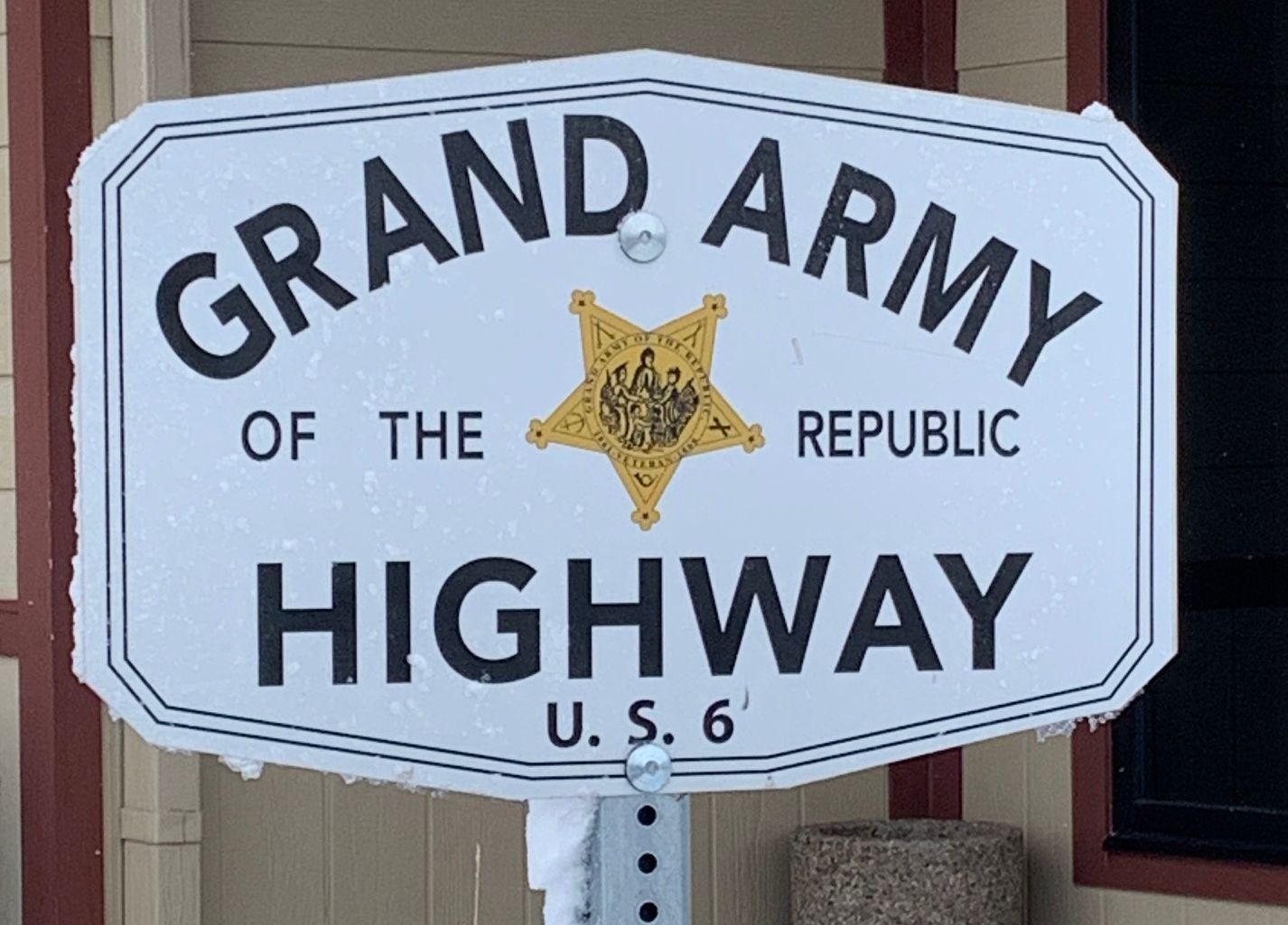
Utah.
Roadside, eastbound between the |
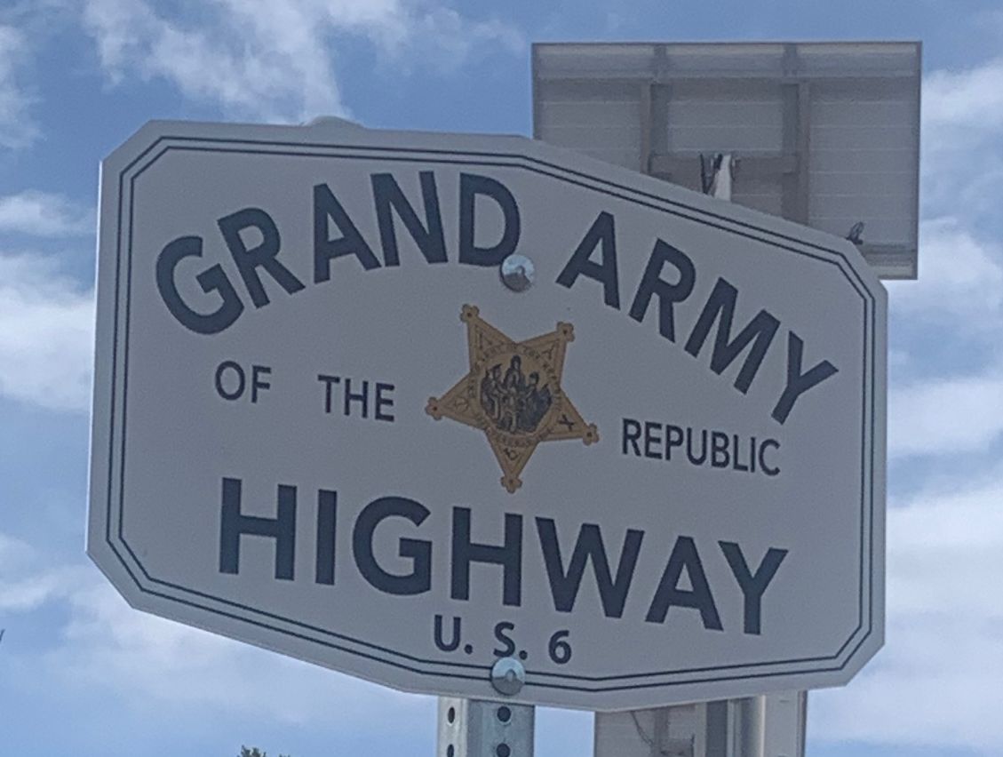
Utah
Silver City Rest Area between Delta |
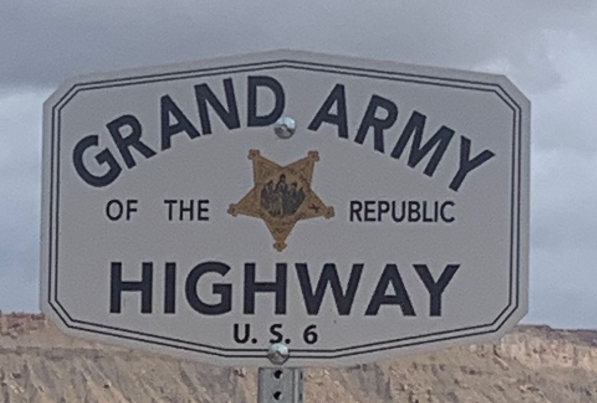
Utah.
The Rest Area between Thistle |
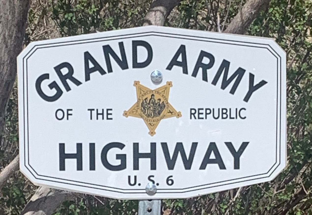
Utah.
Horse Canyon Rest Area between |
 |
 |
 |
 |
|
Utah.
Crescent Junction Rest Area between |
Utah. Thompson Springs Rest Area between Thompson Springs and Cisco. |
Utah.
Roadside, westbound between Mileposts |
Colorado.
Roadside, eastbound |
 |
 |
||
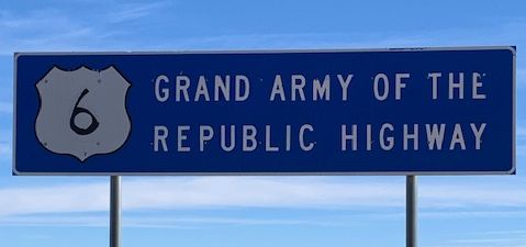
| The
westbound sign is located at Milepost 467.05 |
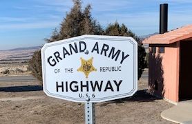
The
eastbound sign is located at Milepost 11.96 |
|
|
